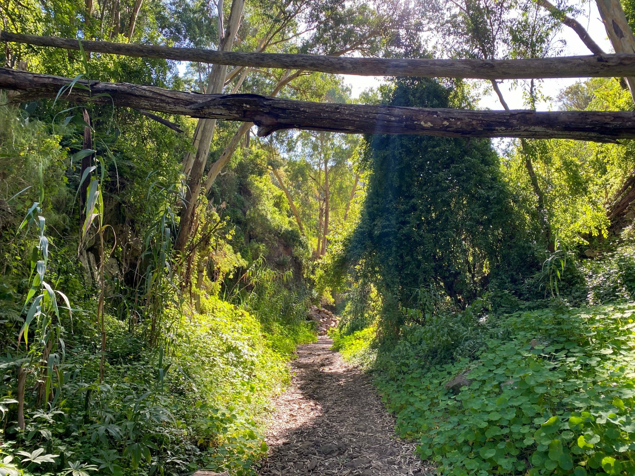
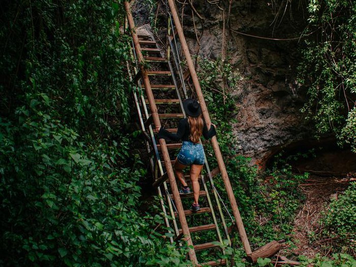
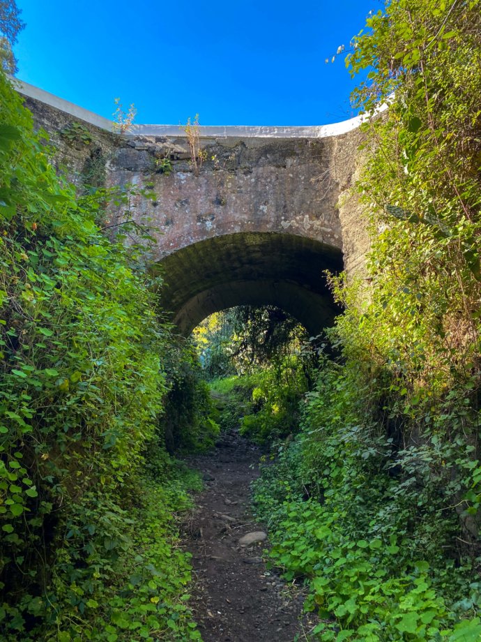
Barranco del Álamo, in the municipality of Teror, became popular for a scenic walking route through a green Canarian ravine. The old Leisure Gran Canaria guide described a path through native vegetation, farming terraces, stone walls and rock formations, with wooden staircases helping walkers negotiate some of the steeper sections.
Because the principal staircase has been damaged, the route should currently be treated as closed, not as an active hiking recommendation.
Main staircase section damaged and access prohibited.
What happened to the trail?
On 27 March 2026, Teror Town Council announced that passage through the popular staircase trail in Barranco del Álamo was prohibited after serious damage caused by Storm Therese. Local Police cordoned the accesses because of unstable terrain and the risk of accidents.
The official notice also suspended scheduled hiking activity in the area and advised people to avoid approaching ravine channels while the safety issue remained.
The Barranco del Álamo route when open
The information below comes from Leisure Gran Canaria's previous guide and is useful as background, but it should not be interpreted as a recommendation to walk the route while the closure remains in force.
Approximately 7 km round trip, around 2–3 hours, described as easy to moderate and largely linear.
Wooden staircases were one of the most distinctive features of the trail, installed to negotiate steep parts of the ravine. Damage to the main staircase is the reason the route is currently closed.
The former guide highlighted native mid-altitude vegetation, ferns, heather, old farming terraces, dry-stone walls and occasional small waterfalls after wetter weather.
Signposting was only partial, and the old guide recommended suitable hiking footwear, carrying water and avoiding wet or rainy conditions because of slippery ground.
Teror and the El Álamo area
A rural setting close to one of Gran Canaria's historic towns
El Álamo is part of the municipality of Teror, an inland area known for traditional Canarian architecture, green hills and rural landscapes. If you are already in the area, the historic centre of Teror remains a worthwhile visit even while the ravine route is closed.
The old trail started close to the El Álamo neighbourhood, but visitors should respect any barriers and local instructions around the closed access.
Where is Barranco del Álamo?
The ravine lies close to the El Álamo neighbourhood in Teror. The map below is provided only to show the location; it is not an invitation to cross barriers or use the closed staircase section.
What to do instead
- Visit Teror: explore its traditional streets, historic centre and local atmosphere.
- Choose another open hiking route: check current municipal or island trail information before setting out.
- Explore other hidden places: Barranco de los Cernícalos, Tufia and El Risco each offer a very different side of Gran Canaria.
Will the route reopen?
The closure notice is a safety measure linked to the damaged staircase and unstable terrain. This page will be updated when there is a clear official reopening notice. Until then, treat the staircase trail as closed.
Current access information: Ayuntamiento de Teror — official closure notice, 27 March 2026. Historical route details are based on Leisure Gran Canaria's previous Barranco del Álamo guide.