Barranco de los Cernícalos is one of Gran Canaria's most unusual inland landscapes. The ravine runs between Telde and Valsequillo and is known for its permanent open-water stream, willow trees, dense vegetation and a sequence of small waterfalls. It feels completely different from the dry southern coast and is one of the island's best-known walks for visitors who want greenery, water and an easy-to-moderate hike.
Why visit Barranco de los Cernícalos?
The old Leisure Gran Canaria guide highlighted the waterfalls, lush vegetation and biodiversity, and those are still the main reasons to visit. Telde Tourism describes the barranco as one of the most visited nature routes on the island and notes that water runs openly through the ravine throughout the year.
Waterfalls, stream and woodland
A rare green corridor in Gran Canaria
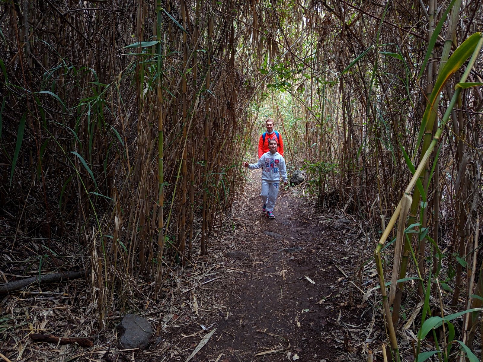
The permanent water creates a habitat that is unusual on the island. Canary willows, wild olive trees, reeds and other moisture-loving vegetation grow along the route, and the sound of running water accompanies much of the walk.
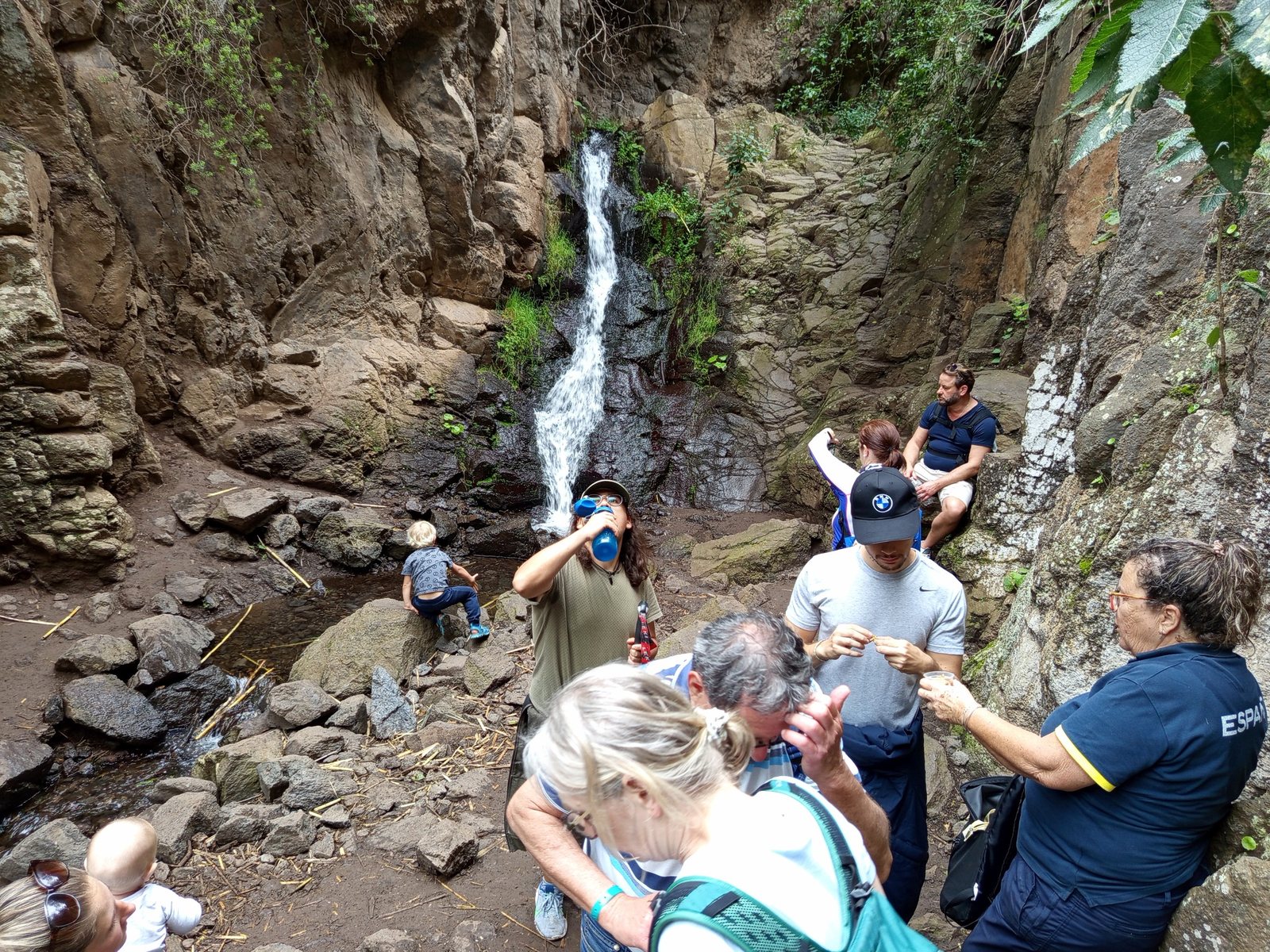
The main marked itinerary reaches a two-level waterfall. Telde Tourism specifically advises against continuing above that point because the path towards the upper cascades is heavily eroded.
What is the walk like?
The route described here follows the itinerary published by Telde Tourism from the Los Arenales recreational area. It is linear, so you return along the same way.
About 500 metres and roughly 15 minutes on foot. From the recreational area, walk up the narrow concrete lane and follow the marked route towards the ravine.
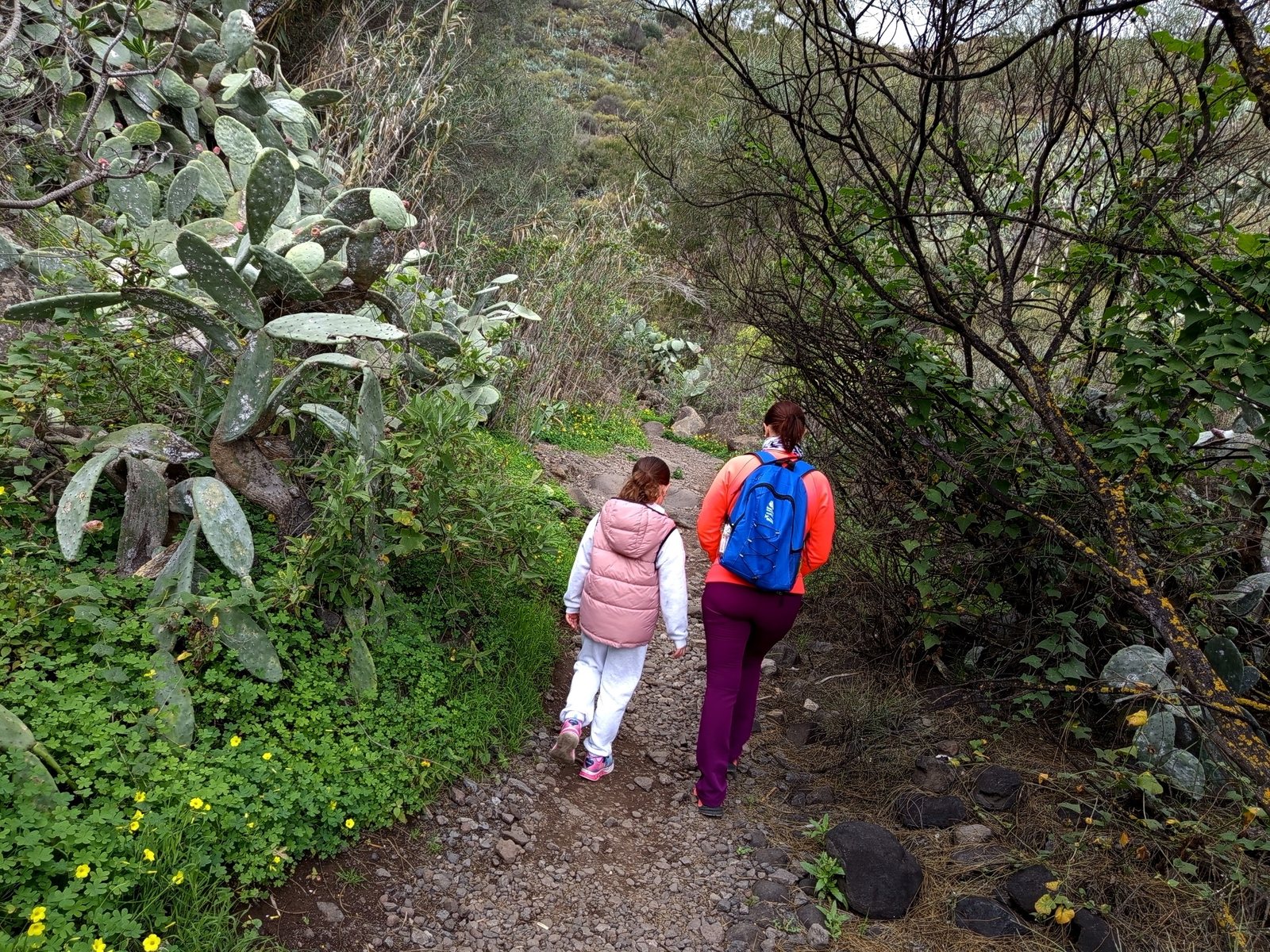
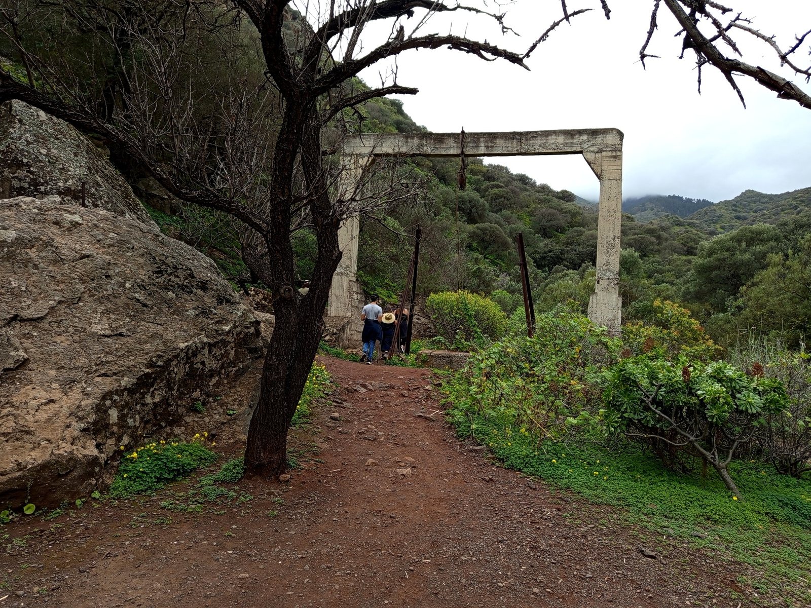
Approximately 3 km and around 1 hour 45 minutes. The path becomes greener as it follows the stream, passing old water infrastructure, wild olive trees and willow woodland.
Allow around 2 hours for the return. The complete outing is approximately 7 km and about 4 hours at a relaxed walking pace.
Along the trail
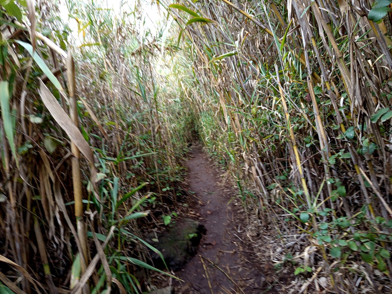
Access and parking
Use Los Arenales as your starting point
The old Leisure guide already warned that some navigation apps could send drivers towards unsuitable approaches. For the standard Telde route, the safest reference is the Los Arenales recreational area / Merenderos Barranco de Los Cernícalos.
From Telde, the official directions follow the GC-131 towards Lomo Magullo and then the GC-132 towards Los Arenales and Cernícalos.
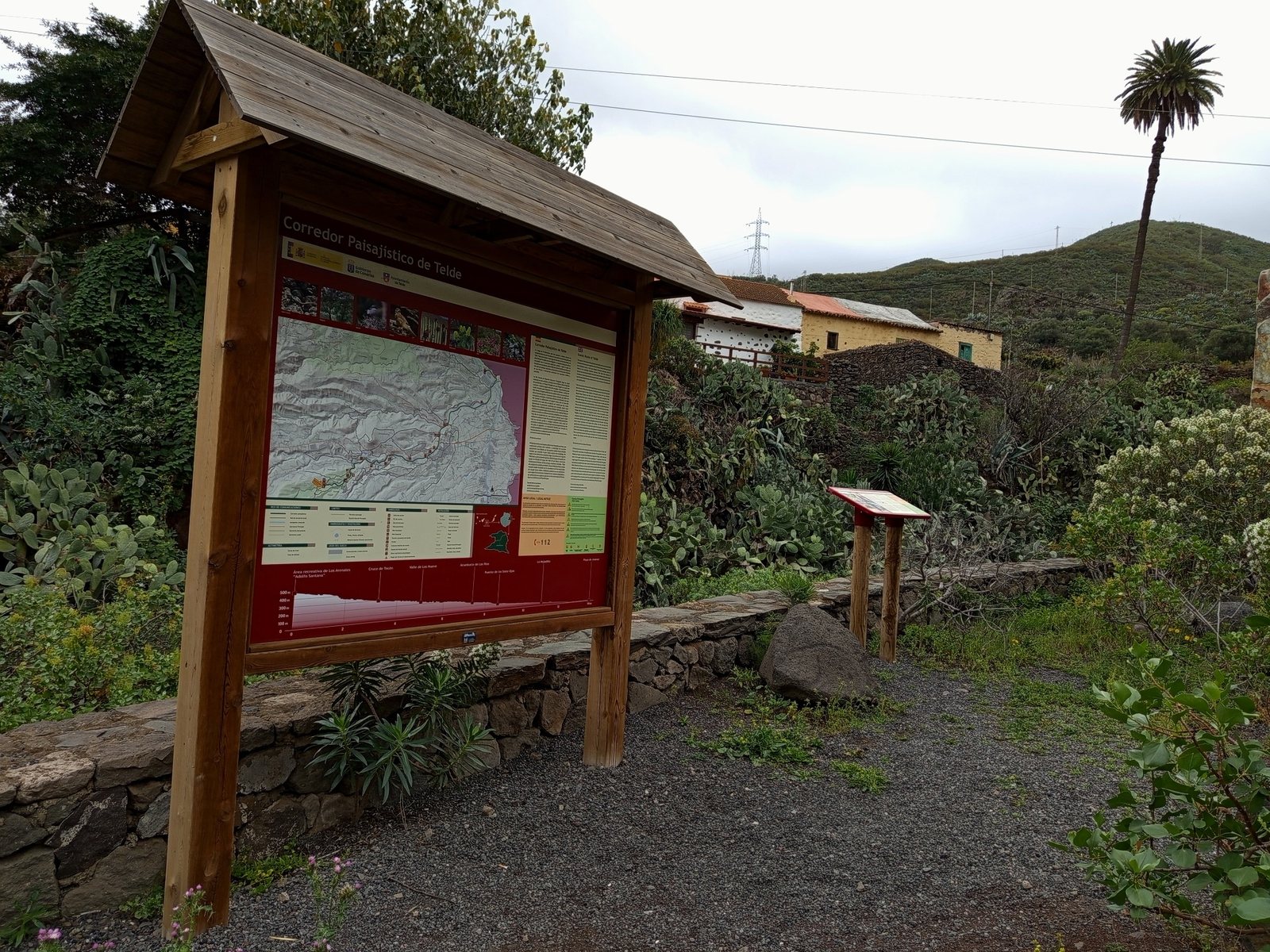
What to bring
- Walking shoes: secure soles are important because sections can be wet or slippery.
- Water and a snack: plan for several hours on the route.
- Sun protection: some parts are shaded, but others are exposed.
- Light rain layer: useful in the cooler and wetter months.
- Respect for the environment: stay on the route, take all rubbish away and do not damage vegetation or water channels.
When is the best time to go?
The ravine is attractive throughout the year because water is normally present, but the experience changes with the season. Cooler months are particularly pleasant for walking, while after rain the stream and waterfalls can be more impressive. Avoid the route during severe weather or immediately after intense rainfall if local authorities issue warnings.
Is Barranco de los Cernícalos worth visiting?
Yes, especially if you want to see a greener side of Gran Canaria. It combines an accessible hike, running water, woodland and waterfalls in a landscape that feels completely different from the island's coastal resorts. Allow enough time, start from the correct access point and do not continue beyond the recommended end of the route.
Information updated with official sources: Telde Tourism – Barranco de los Cernícalos route, Telde Tourism – nature guide and Valsequillo hiking information.